THE TECHNOLOGY BEHIND GEONEXA
Emergent risk can be predicted — if you can see the patterns in the data. But the way those patterns interact across space and time is often far too complex for people to untangle by eye. GeoNexa's technology makes those patterns visible, and turns them into decisions you can act on.
RIGOROUS PREDICTION, BUILT FOR REAL DECISIONS
Real-world systems are noisy, incomplete, and sometimes shaped by adversaries who adapt. No model predicts them perfectly.
So we focus on what drives value: predictions precise and clear enough to change what an organization does next — a measurable improvement in the decisions you make.
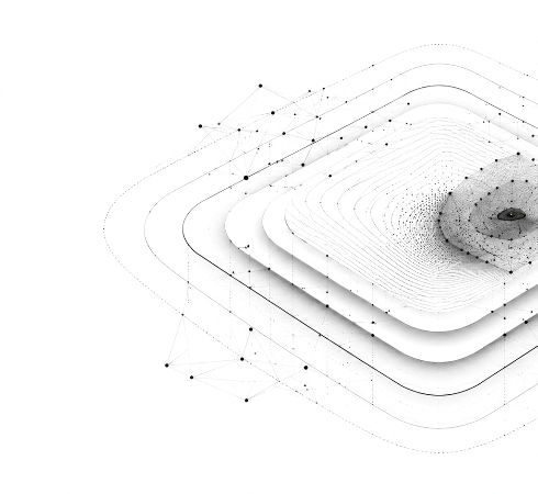
LOCATION DATA IS NOT ORDINARY DATA
Machine learning carries one assumption that quietly breaks in the real world: that each data point is independent. In spatial systems it isn't.
Places influence their neighbors, events cluster, and risk flows along streets and networks. Treat each location as if it stood alone and the model looks convincing in testing while missing what matters in practice.

The four recurring challenges:
STETA: INTELLIGENCE BUILT INTO THE DATA
Most spatial models rebuild the algorithm to handle location — slow, brittle, and tied to one model type.
GeoNexa's Space-Time Encoded Training Architecture (STETA) instead transforms spatial and temporal relationships into scalar features a standard algorithm can use, encoding the intelligence upstream, before the model ever sees the data.
So the model no longer learns from isolated points. It learns from the relationships between them — how places, networks and events shape one another — producing fine-grained results that hold up in the real world.

MODEL-AGNOSTIC BY DESIGN
Approaches that adapt a single algorithm inherit its limits and are usually tied to simple straight-line geography.
STETA isn't tied to one model — the same encoded intelligence can drive tree ensembles, graph neural networks, transformers or hybrids, whichever fits the problem.
Throughout, a human specialist stays in control of how reality is encoded. Flexible models, expert-guided encoding: powerful and trustworthy.

Three ways to represent the world
Not every problem lives in the same kind of space.
STETA represents relationships in whichever way fits:

Physical space
Influence spreads by distance, with nearer places mattering more.

Network space
Influence is constrained by real connections — streets, routes, infrastructure — with direction and cost shaping how effects move.

Relationship space
Influence is defined by association rather than geography, linking things that interact even when far apart, and even when they are different kinds of thing.
Knowing which representation a problem needs is where domain expertise and methodology meet — and where off-the-shelf tools fall short.
LOCAL SIGNAL HIDDEN IN GLOBAL NOISE
The real value is finding signal that broad analysis misses. A feature can look unimportant across a whole dataset yet carry strong meaning in the right local context:
A street with moderate crime that's far busier than those around it can signal an emerging hotspot. Raised respiratory admissions are normal in winter — but a cluster downwind of an industrial corridor may point to a local health incident. Routine stock shortages cascading through stores on one depot may reveal an upstream distribution failure.
Each pattern is invisible to a model that treats the world as flat and independent. STETA is built to see it.

BUILT AROUND THE COST OF BEING WRONG
Different decisions carry different risks — sometimes a missed event is catastrophic and a false alarm merely an expense; sometimes the reverse.
GeoNexa tunes its models to the specific cost of being wrong in your context, so the output reflects the decision you actually face.

WHY EXPERTISE STAYS CENTRAL
Technology alone does not produce good decisions.
GeoNexa combines the engineering to build and deploy GeoAI with the spatial-analysis expertise to know what results mean and how reality should be encoded.
There is no free lunch in spatial machine learning — encoding the world well takes judgment as much as code, grounded in decades of peer-reviewed research.
